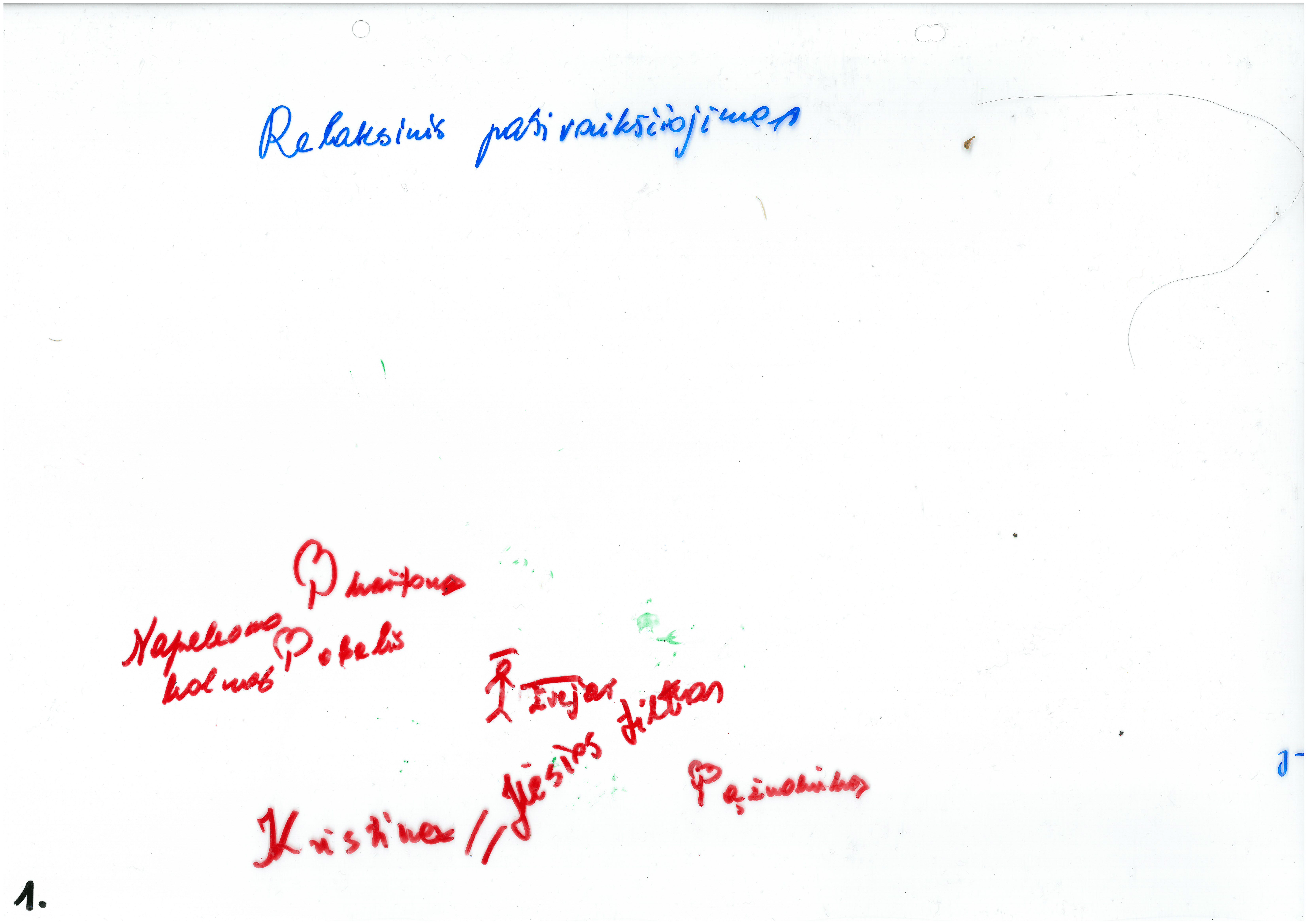
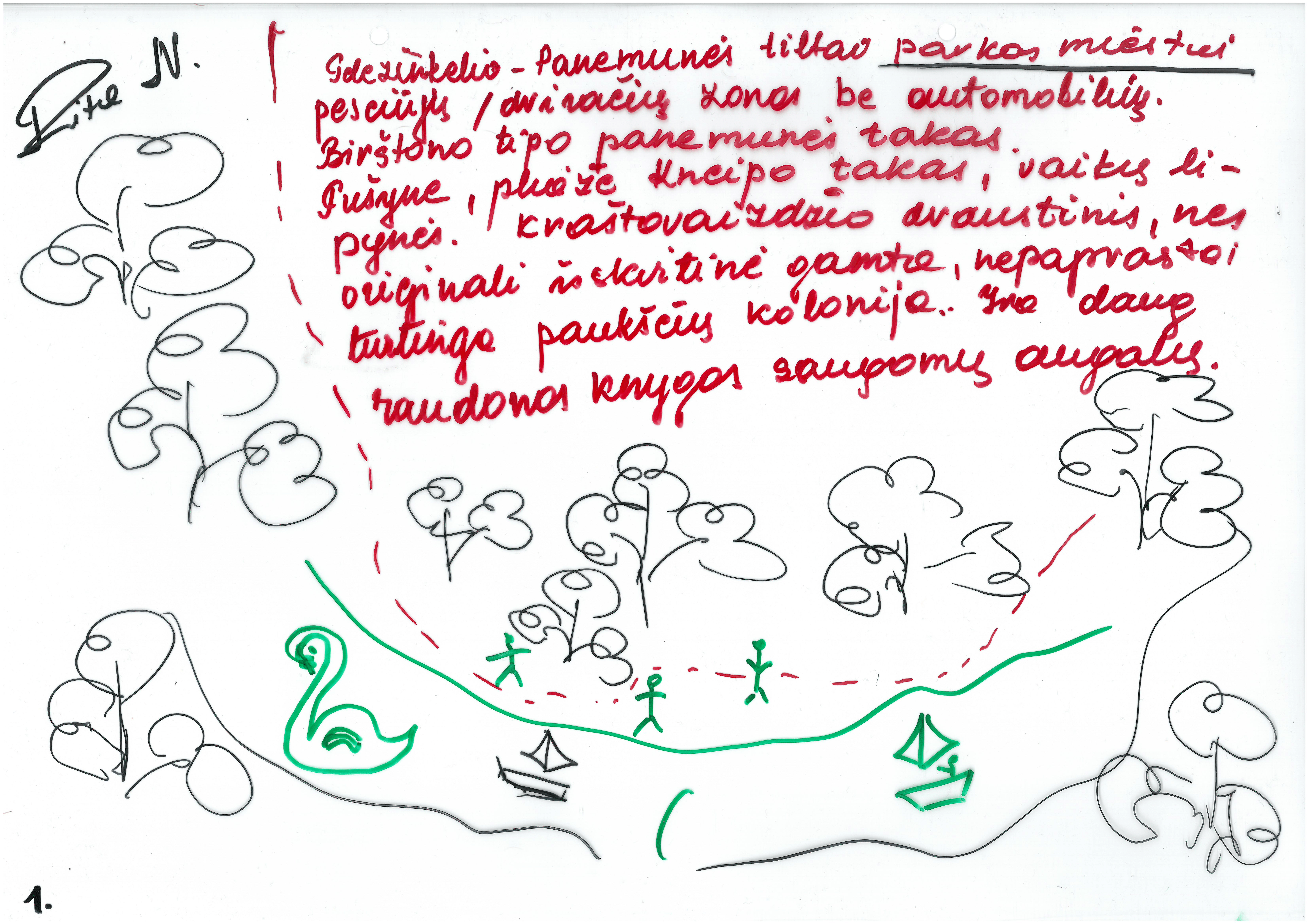
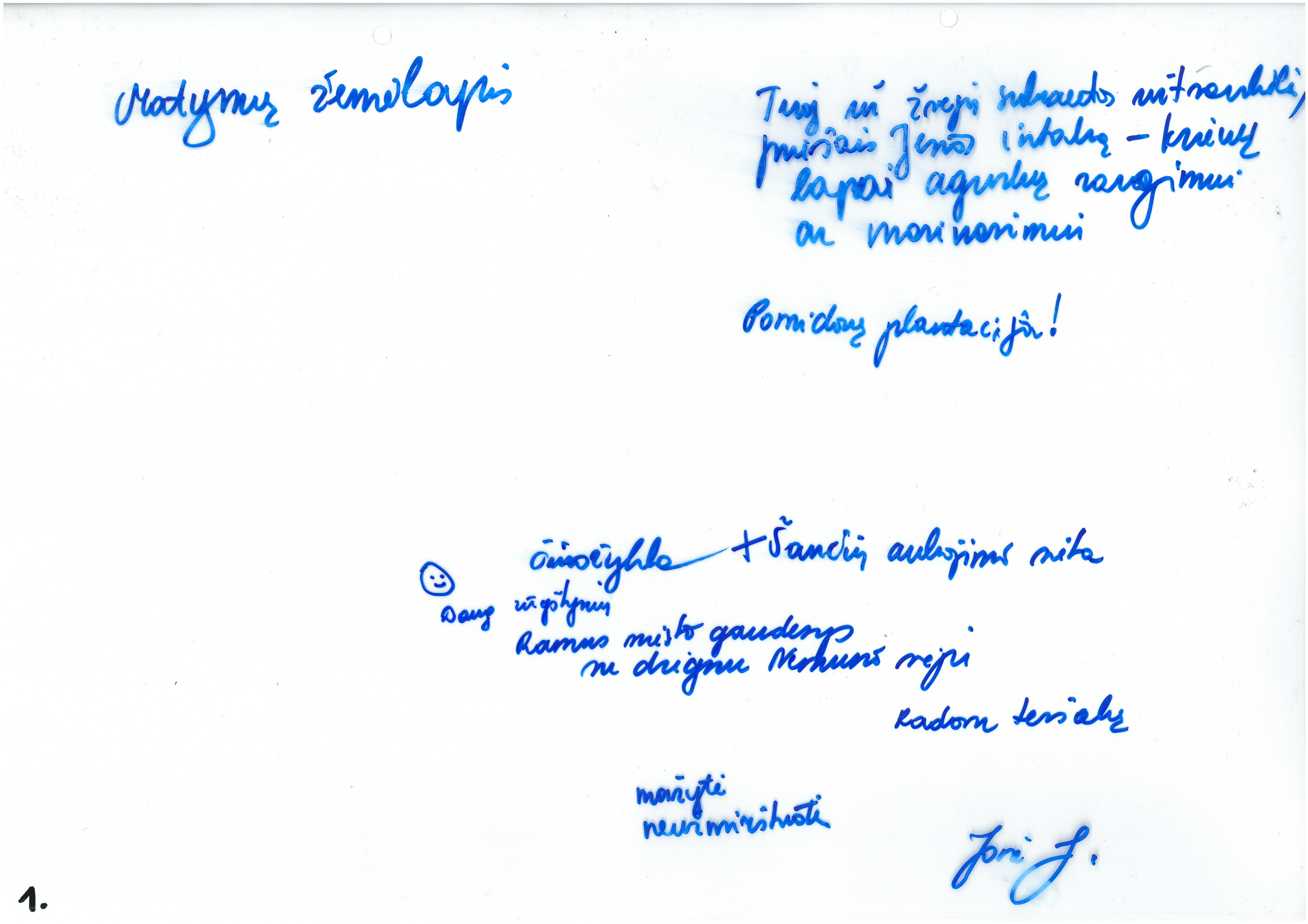
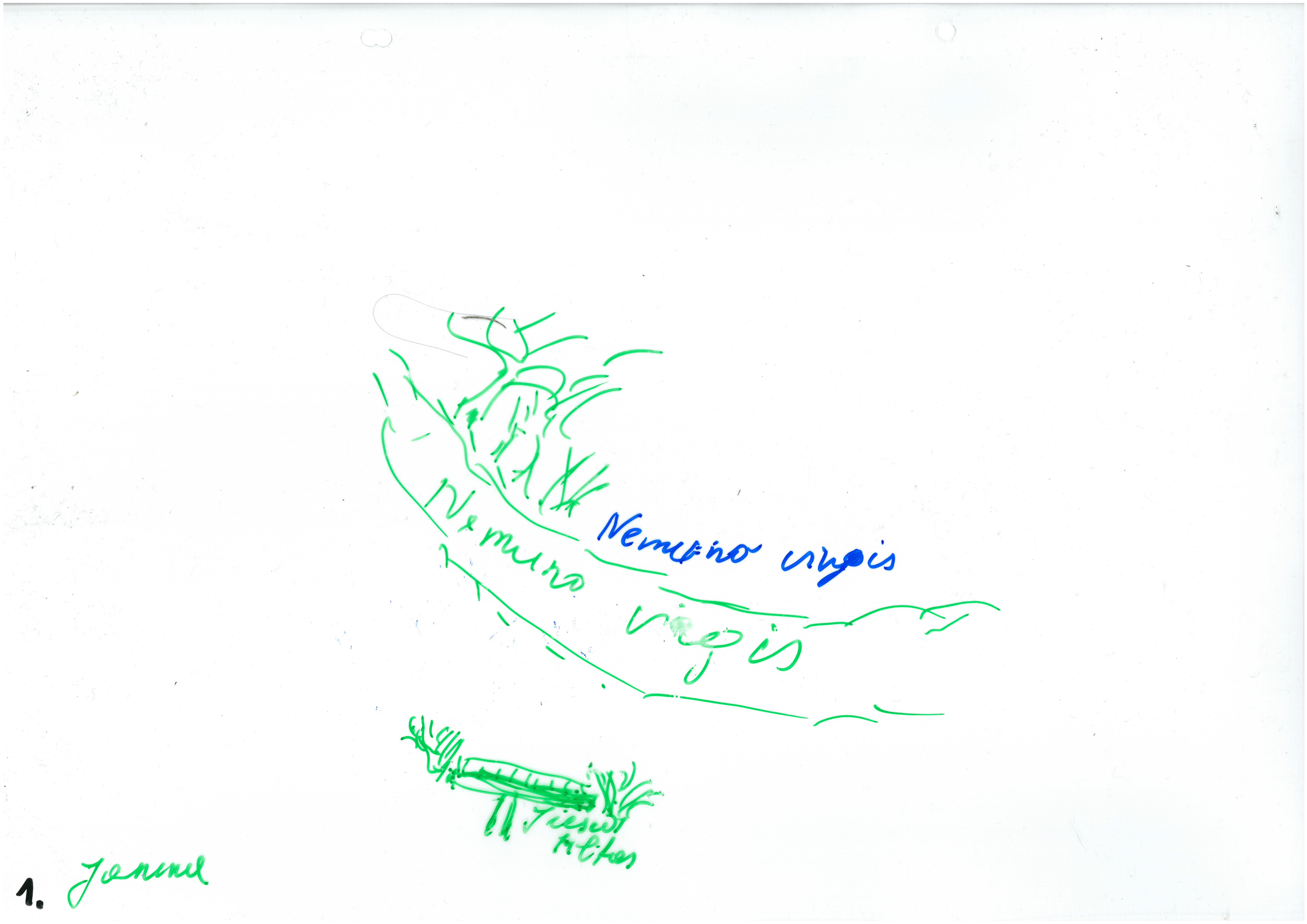
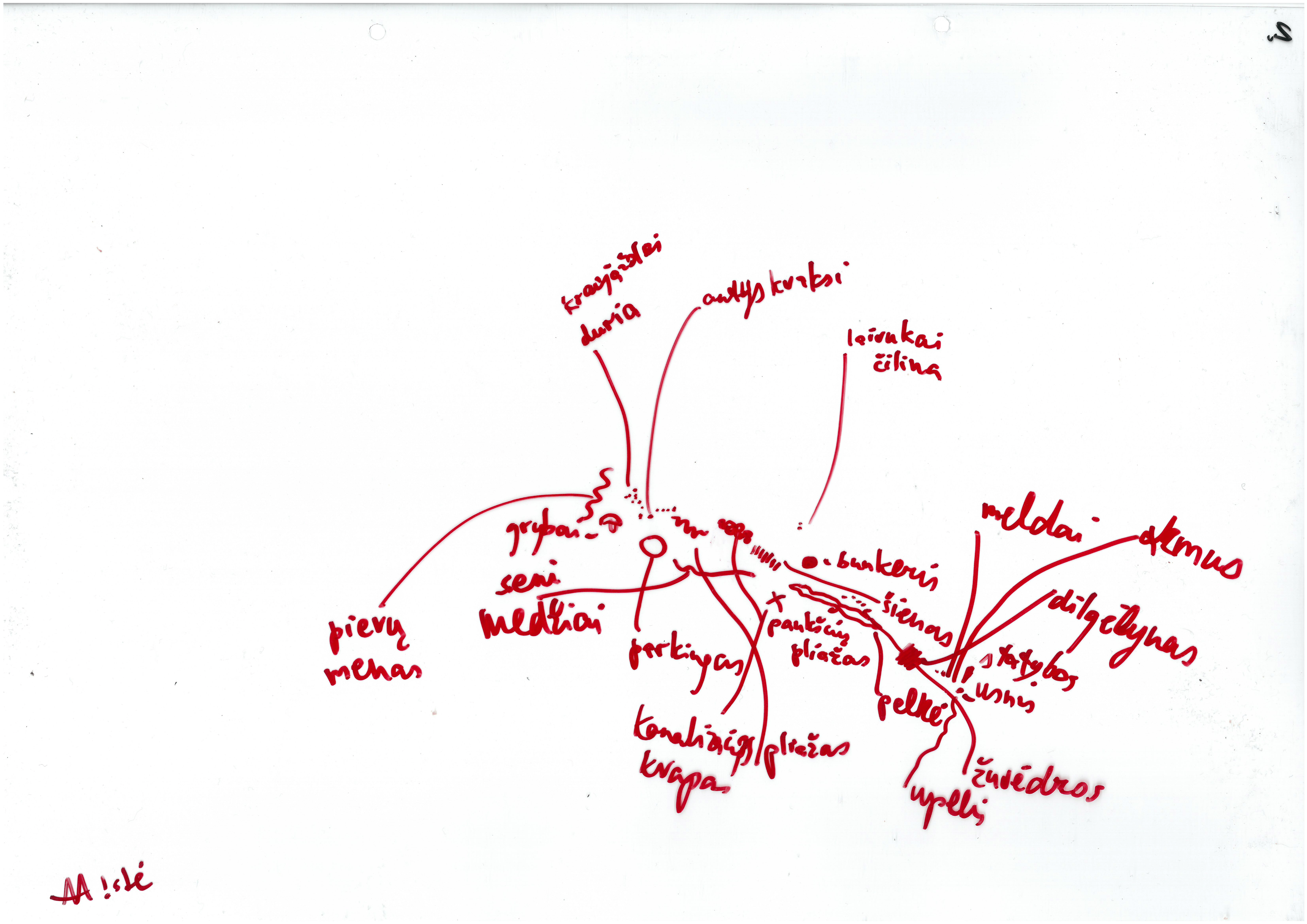
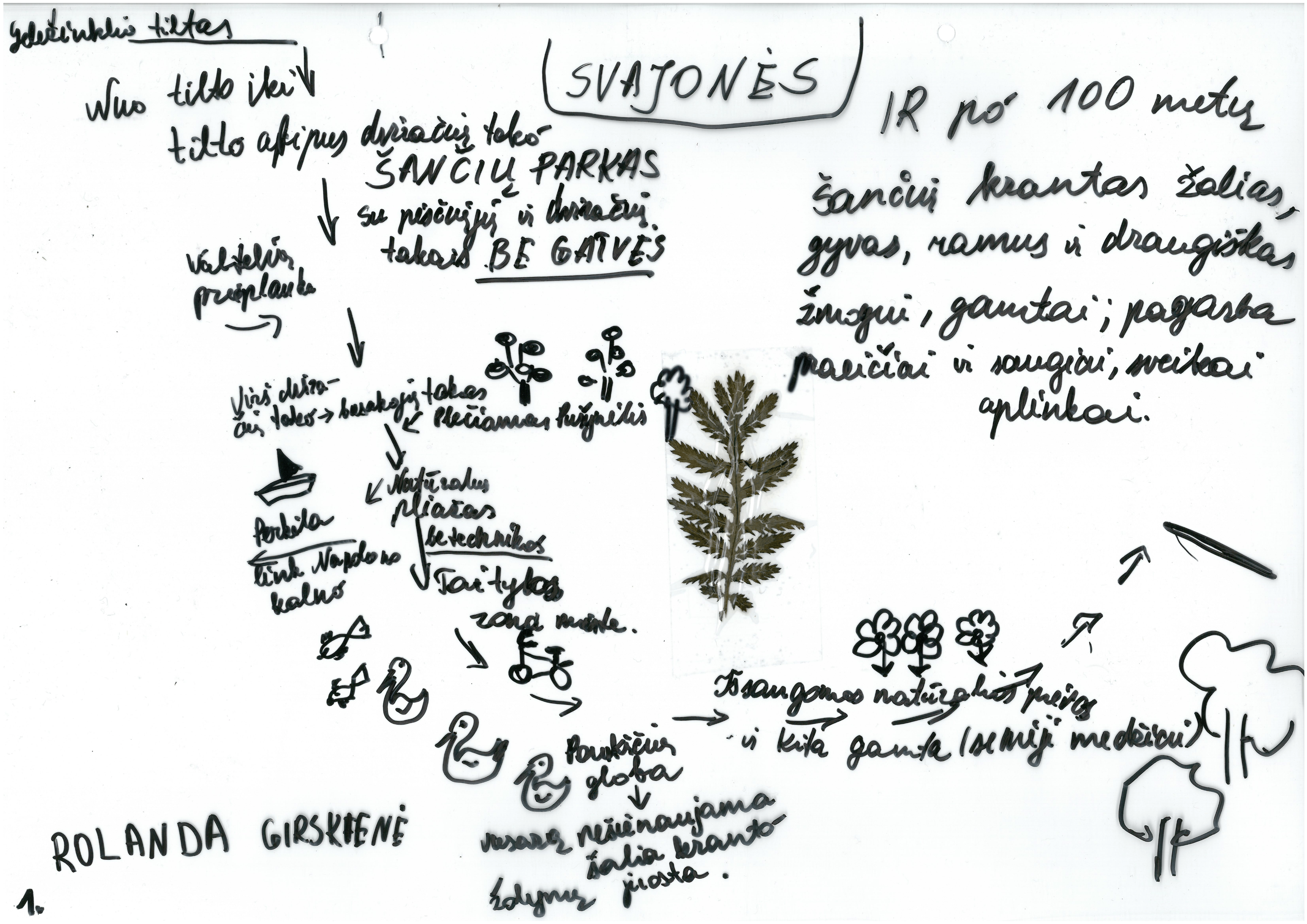
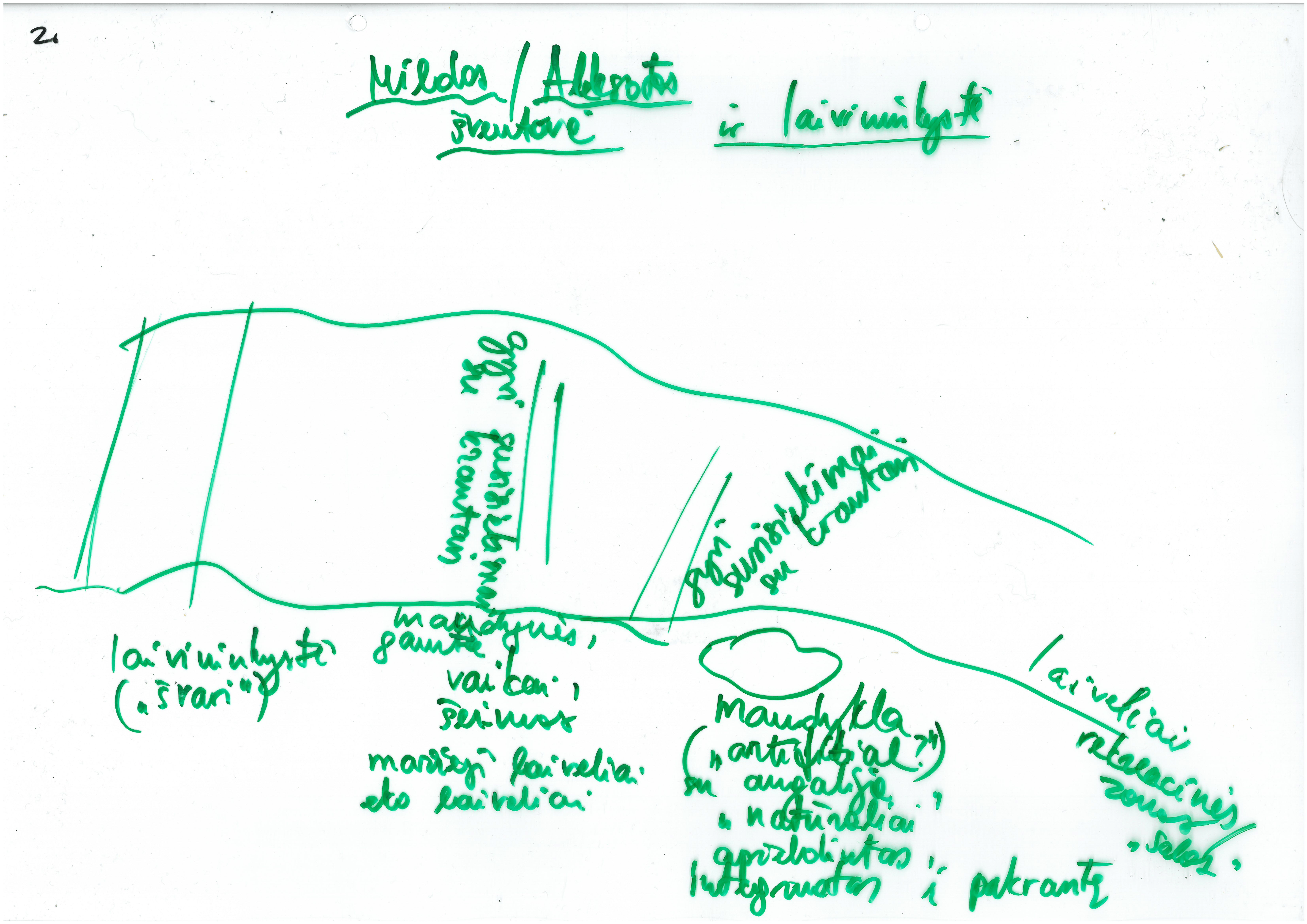
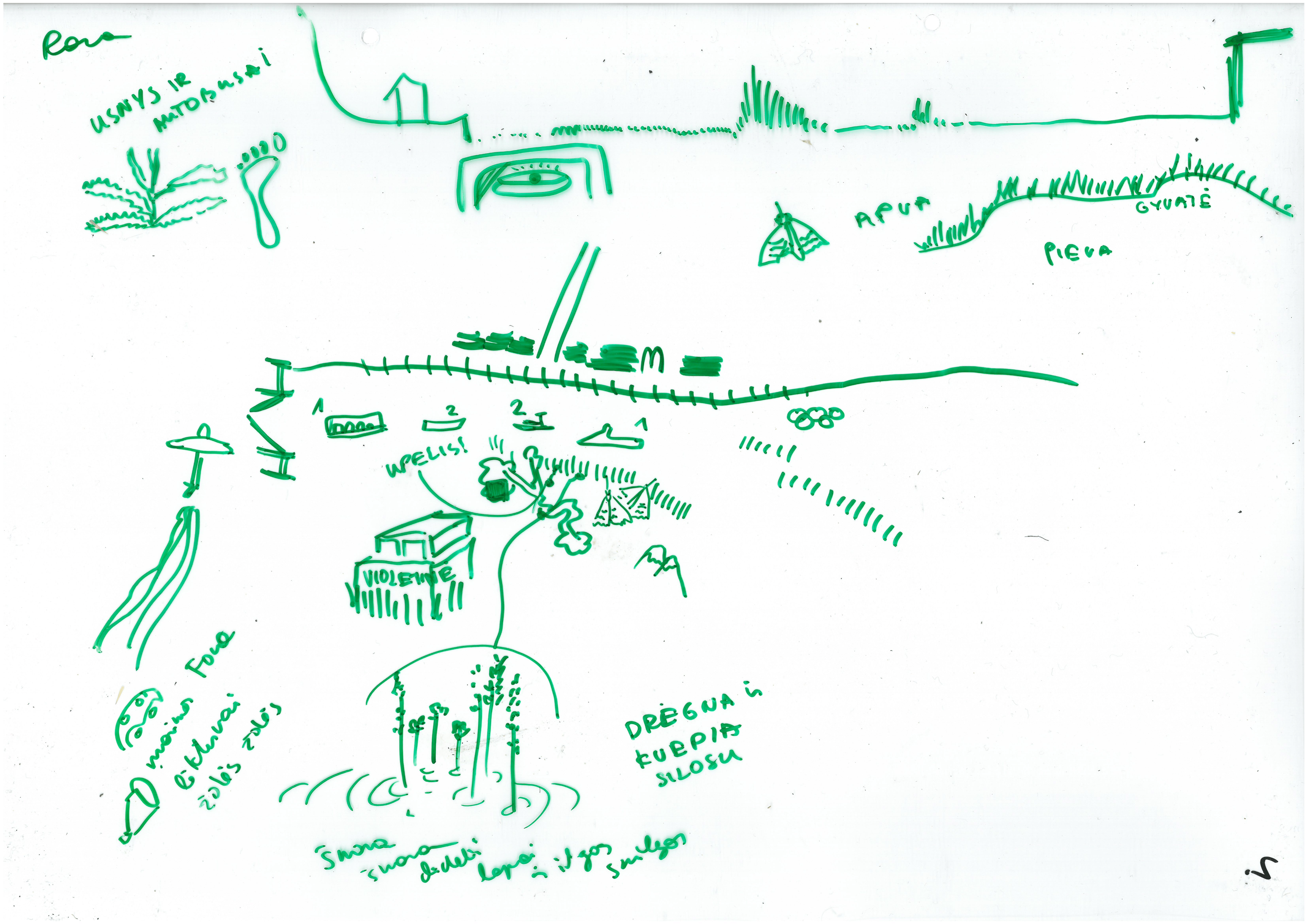
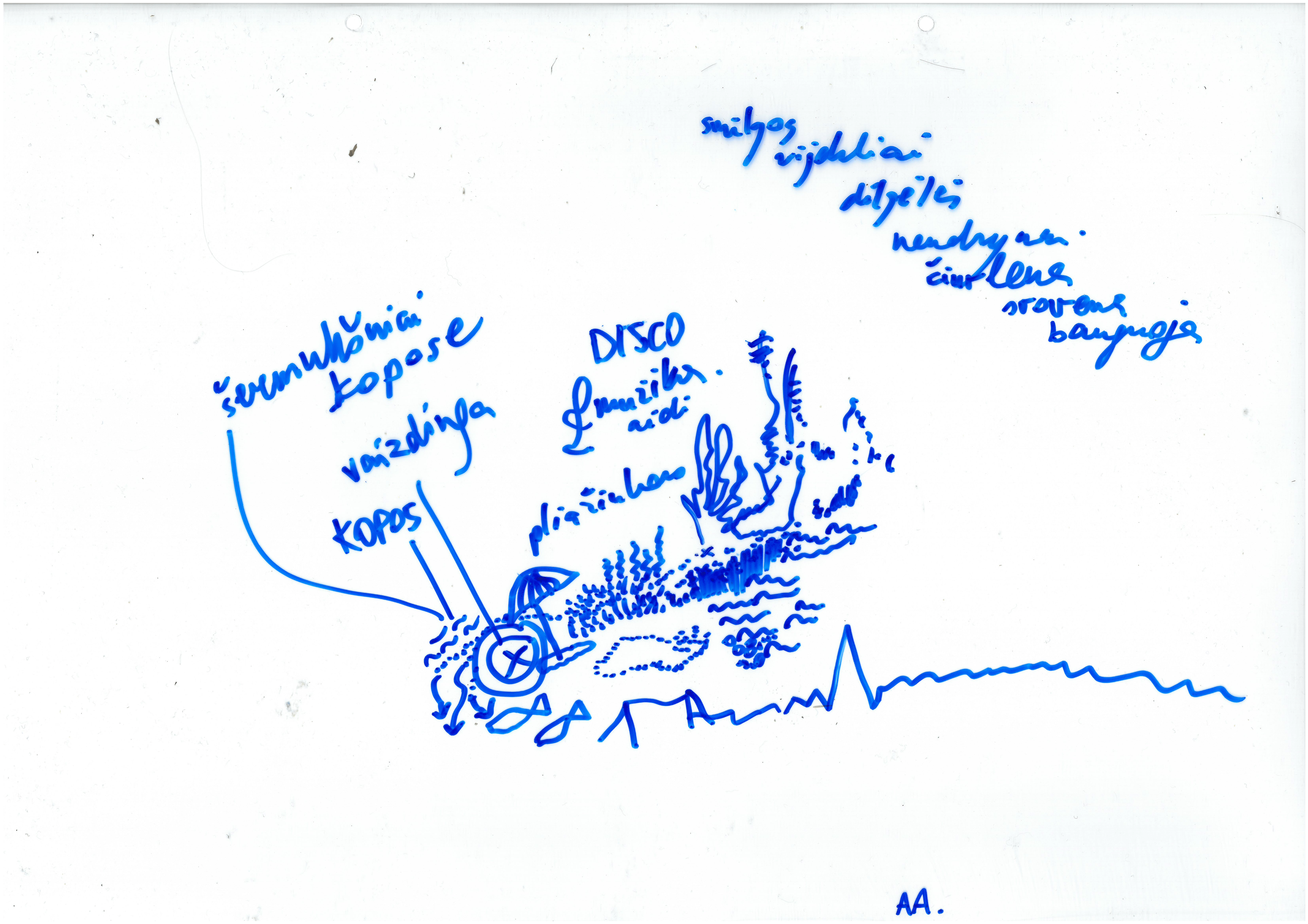
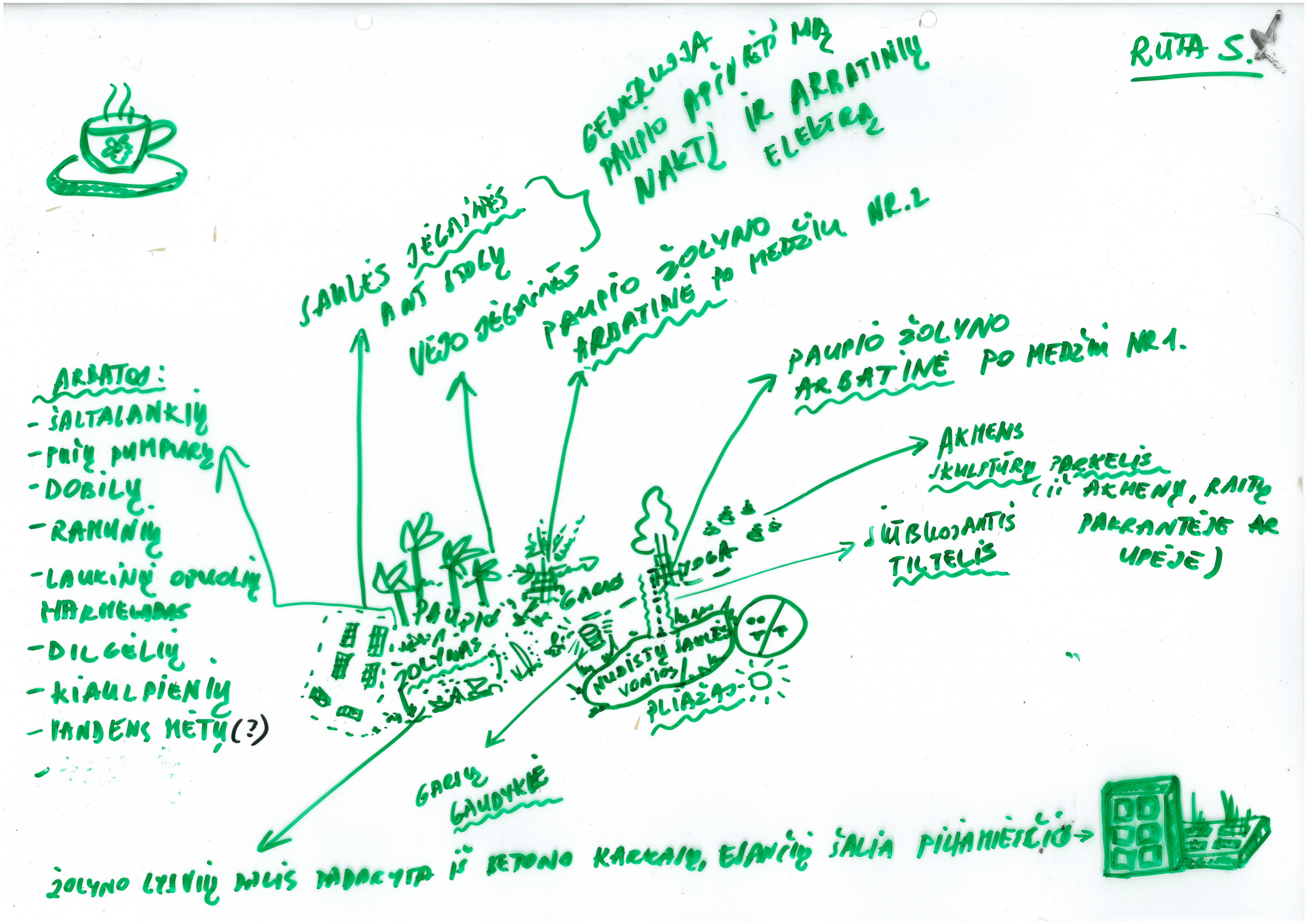
In the summer of 2021, the TẽKA team carried out mapping expeditions along the riverbanks of Šančiai, Aleksotas, and Vilijampolė, which included local people, community representatives, and other Kaunas citizens. During these expeditions, residents were asked to record in map format how they see the riverbanks, what they remember or would like to see in the future. The result of these experiments is various psychogeographic* city riverbanks maps created by Kaunas residents, which, unlike ordinary cartography, do not depict usual urban areas and/or their boundaries, buildings, and streets, but emotional interactions, moods, memories, various connections, experiences and fantasies that occur when a person is near the water and/or having interactions with the river. These psychogeographic maps were later used to create an alternative riverbank map.
ŠANČIAI. Expedition date 2021 08 07.

ALEKSOTAS. Expedition date 2021 08 14.

VILIJAMPOLĖ. Expedition date 2021 08 21.

* ABOUT PSYCHOGEOGRAPHY. During the ’50s and ’60s, the situationist community in Paris actively used the method of psychogeography, proposed by the philosopher Guy Debord in 1955, through which the members of the group explored the various geographical features of the environment in terms of human emotional experience. Using this method, a wide variety of city and other territories maps have been created, revealing a certain psychological-emotional impact of the environment on a person, and the various urban interactions, not related to streets or buildings, but to a person’s experiences when being in different environments. In part, such psychogeographic maps reveal more information about the mapper himself than the world, but on the other hand, it allows us to understand how people experience the city and/or other environments.

